18 February 2026
NLR sponsors Amsterdam Space Symposium 2026
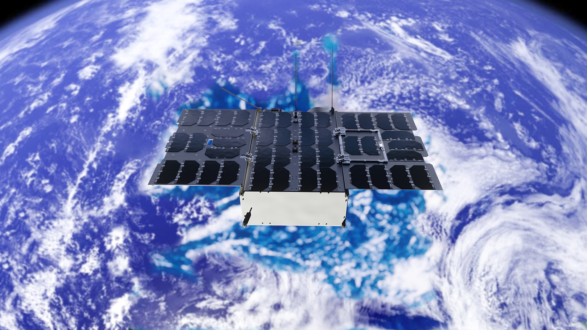
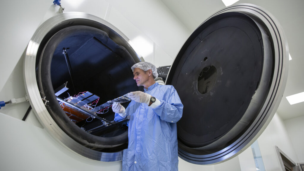
The Amsterdam Space Symposium 2026 will take place on 3-4 March at the Beurs van Berlage in Amsterdam, marking the first international space conference to be held in The Netherlands. This event closely aligns with NLR’s ambitions of contributing to a resilient and sustainable space infrastructure through knowledge and technology.

28 January 2026
Innovation and Safety: the Future of Non-Kinetic Operations
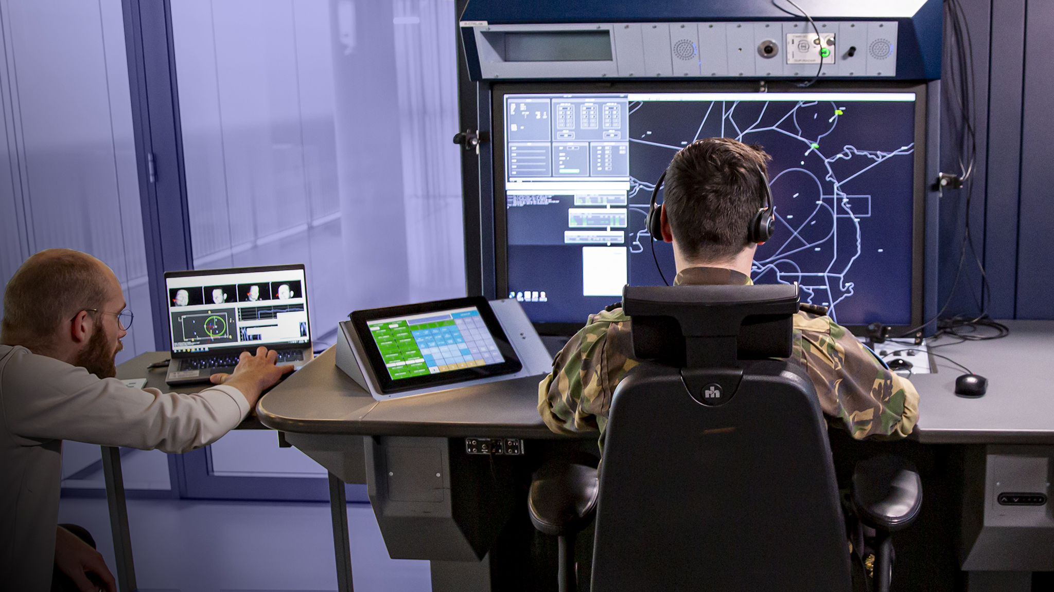
Defence and safety are undergoing a period of fundamental change. The rise of new technologies is changing the nature of conflict, with a growing focus on non-kinetic activities such as cyber attacks, influence through social media, and the disruption and manipulation of electromagnetic signals. These developments pose new challenges for defence organisations, making it essential to find innovative solutions to ensure safety. NLR supports Defence with knowledge and expertise to remain effective in non-kinetic operations.
CHECK OUR NEWS IN BRIEF HERE
AGENDA
Let’s meet!
3 -4 March
Amsterdam Space Symposium
10-12 March
JEC World
26-28 May
Airspace World
10-14 June
ILA Berlin
Areas of expertise
Programmes
Markets
NLR Repository
Newsroom
Stay up to date with the latest developments. In the Newsroom you can find the latest news, articles, and blogs from NLR. We also showcase a range of videos and publications here. For more video content, please visit our YouTube channel, NLRmedia.
